The Watkin Path is one of the toughest paths up Snowdon. Named after an English politician, the scenic route is a walk of two halves. It starts by meandering north from Nant Gwynant on the A498 through beautiful woodland, past the Rhaeadrau Waterfalls and up to an abandoned quarry before turning into a long, steep uphill slog to Bwlch Ciliau where you get a few hundred metres of flat-ish respite before an even tougher uphill scree climb. You do have the pleasure of seeing the summit in the distance for much of the second half of the walk and the final ‘climb’ to the top really makes you feel like you’ve earned your ascent. Starting the closest to sea level of all the routes at just 60m, the Watkin Path has the most ascent of all the Snowdon paths. It’s a little under eight miles (12.9km) up and down.
There’s a small car park at Pont Bethania in Nant Gwynant. You’ll find it near to LL55 4NR or ///evoked.eased.variously. Operated by Snowdonia National Park Authority, this car park can be busy on summer weekends so aim to arrive early. Standard daily rate of £6 or £3 for up to four hours and chip and pin and contactless payments are accepted.
How to climb Snowdon via the Watkin Path
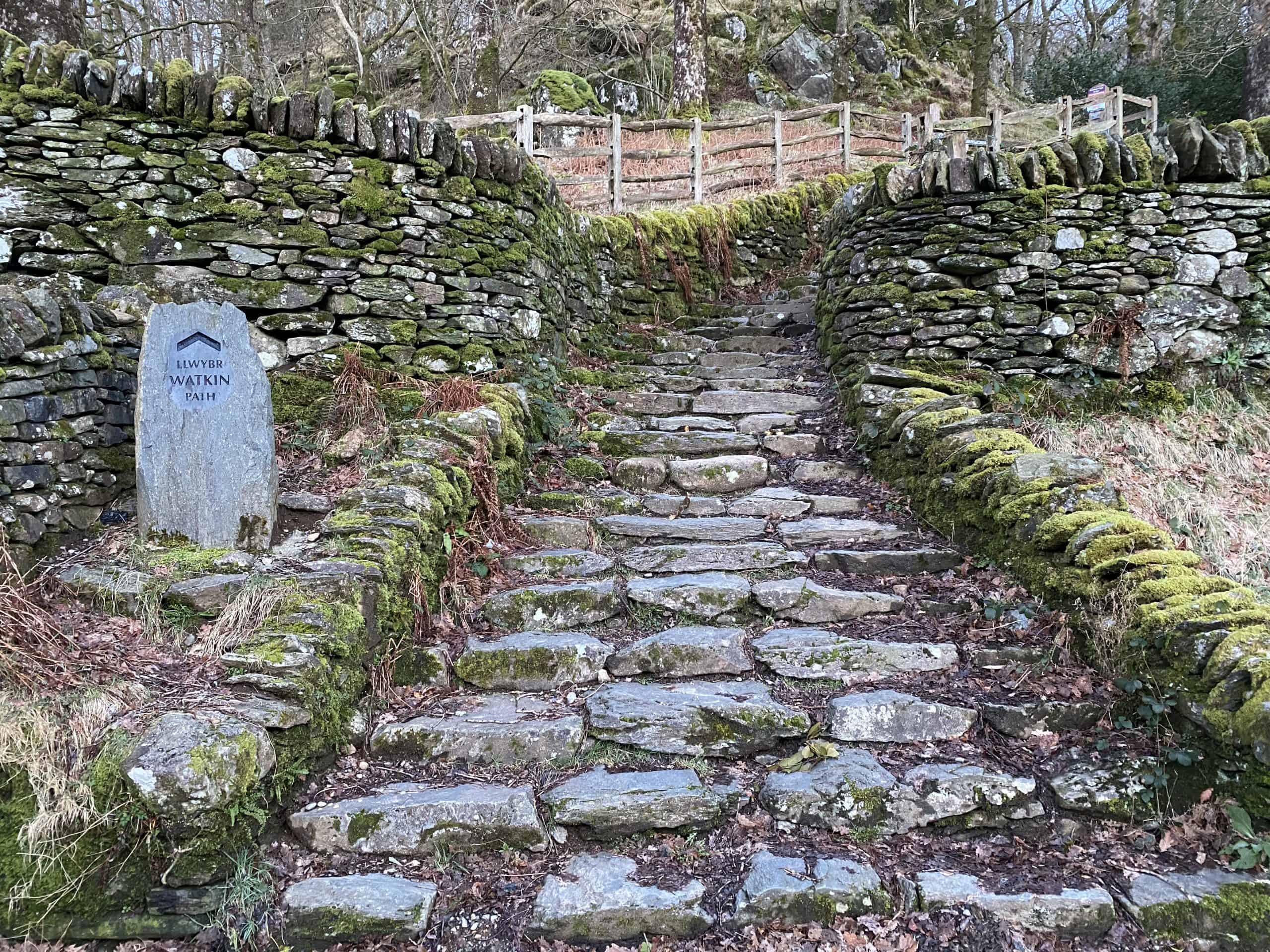
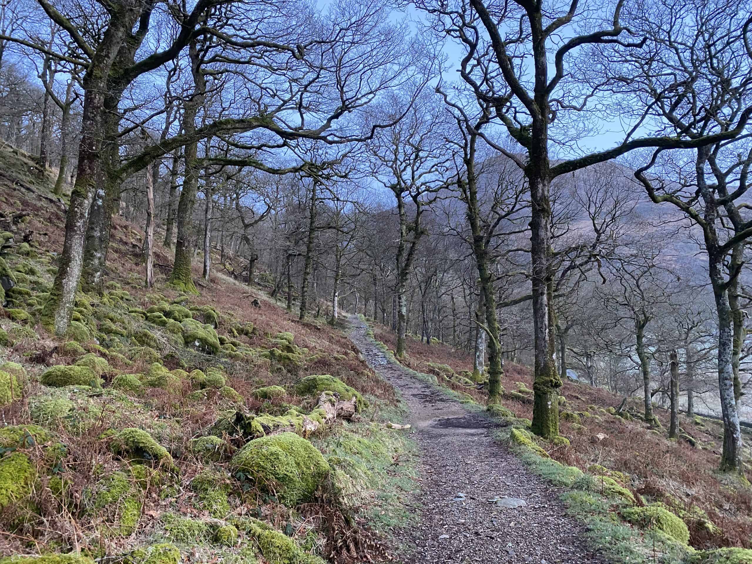
Exit the car park at Pont Bethania and turn left and walk along the footpath until it comes to an end. Cross over the road and climb the steps into the woods. This first part of the walk is an easy, gradual climb through the trees along an obvious path. Enjoy it!
You’ll soon emerge out of the woods and into open terrain. As you bear around to the left you should see some waterfalls ahead in the distance. That’s what you’re aiming for however the path continues around to the left. Stick with it and avoid the temptation to cut across the corner. This isn’t open access land and you must stay on the foot path. You’ll soon find yourself in the valley alongside the river with the impressive on your right. A great opportunity to stop, take some photos and have a drink.
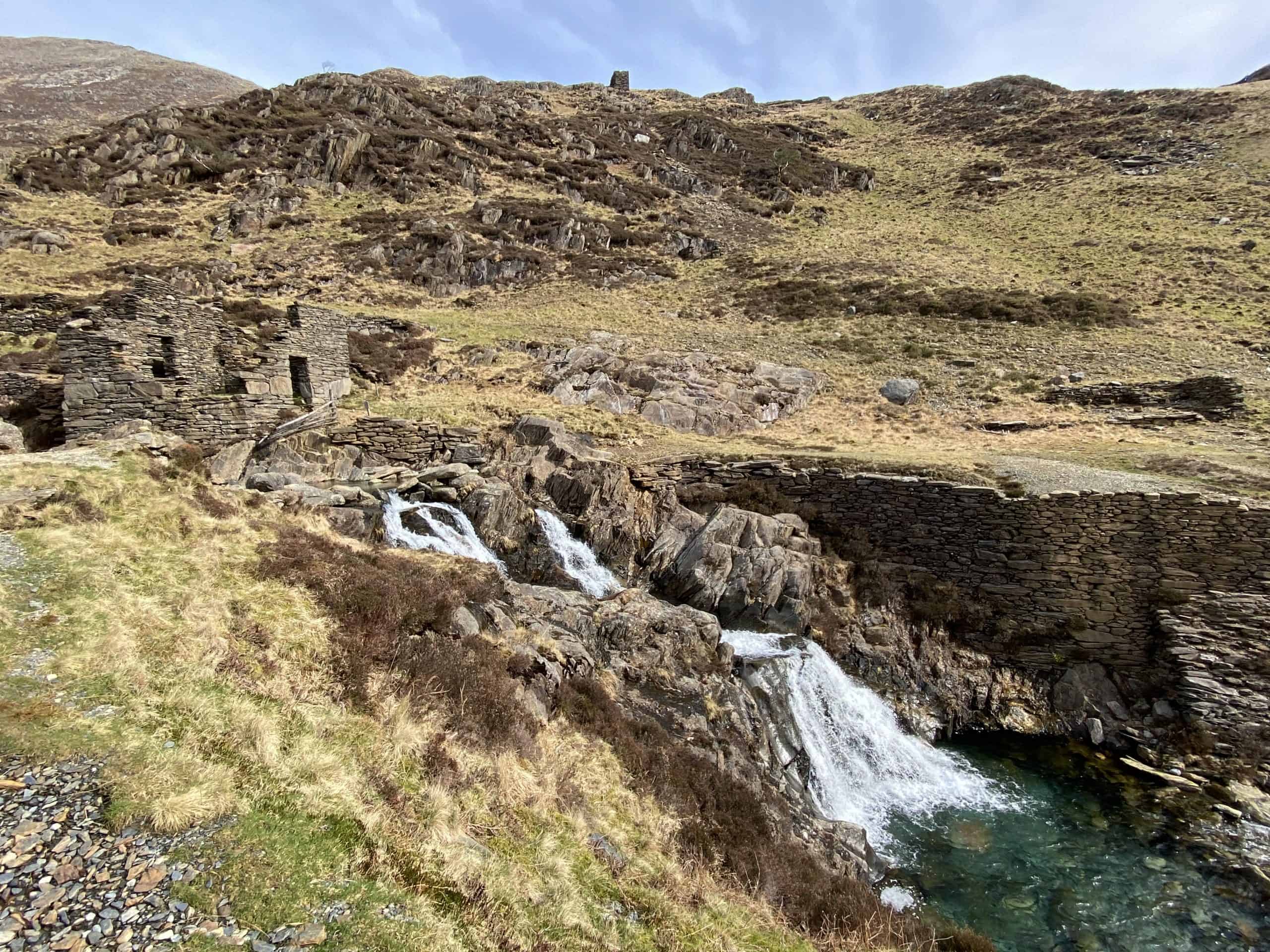
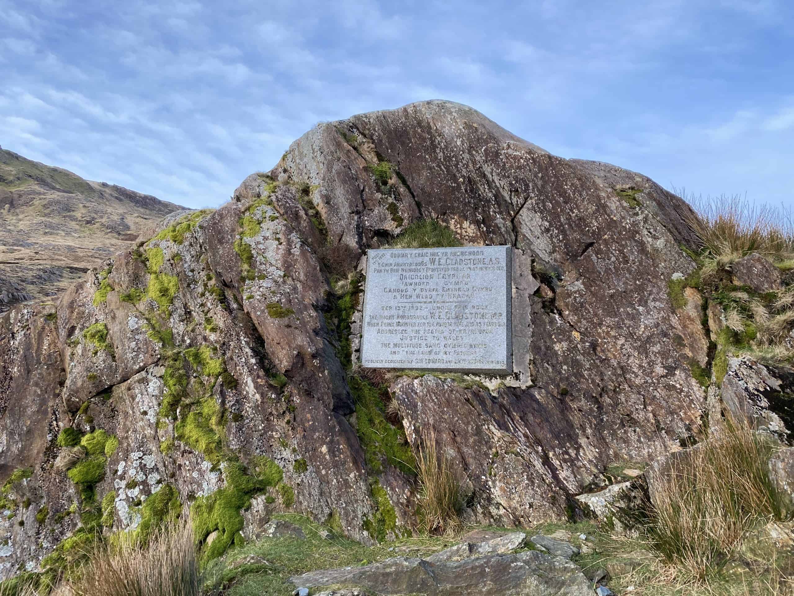
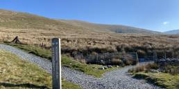
The path continues gradually to Gladstone Rock, a plaque celebrating the opening of the path. Continue on until you reach some old mining works on your left. Again, another great spot to catch your breath as this is the end of the ‘easy’ stretch of the walk. The path is still very obvious here but you’ll quickly notice it getting steeper.
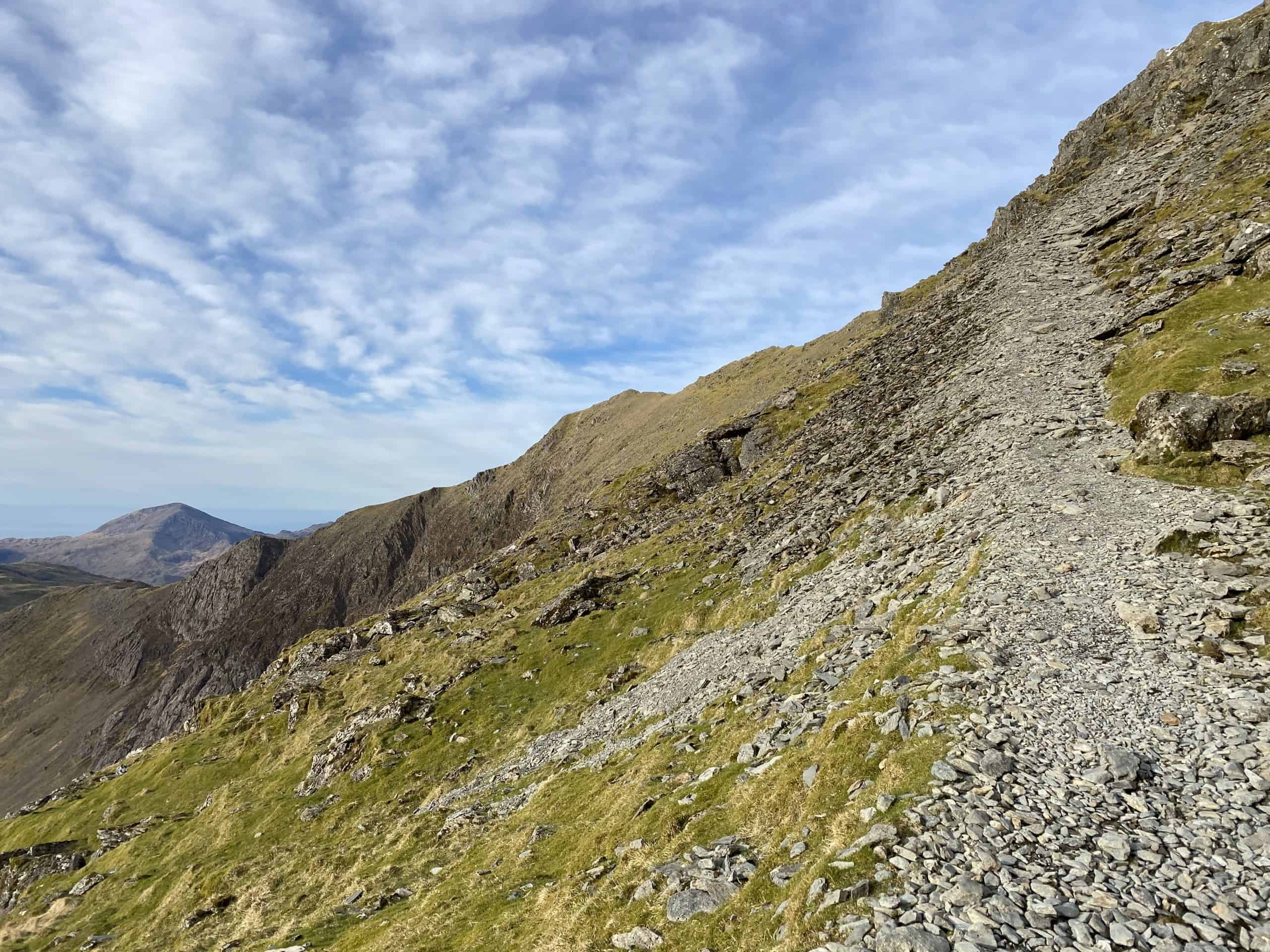
You should have your first glimpse of the summit off to your left and the ridge to its right is Bwlch Ciliau. You’re going to need to get up there but don’t worry, the path is easy to follow. Keeping on climbing as you head towards and then away from the summit and eventually top out on to Bwlch Ciliau. To your right is Y Lliwedd but you’re going to turn left and walk along the ridge hopefully with a great view of Snowdon ahead. The path comes and goes here but it’s obvious which direction you’re going.
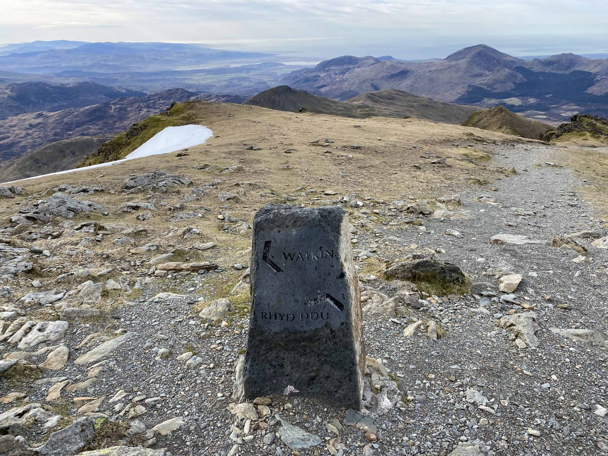
Keep looking up ahead and you’ll get a glimpse of the scree path you’re going to need to take next. It’s worth noting that it ‘skirts’ the summit and that you’ll need to follow it around the back. Do not be tempted to try and take a straight line to the summit.
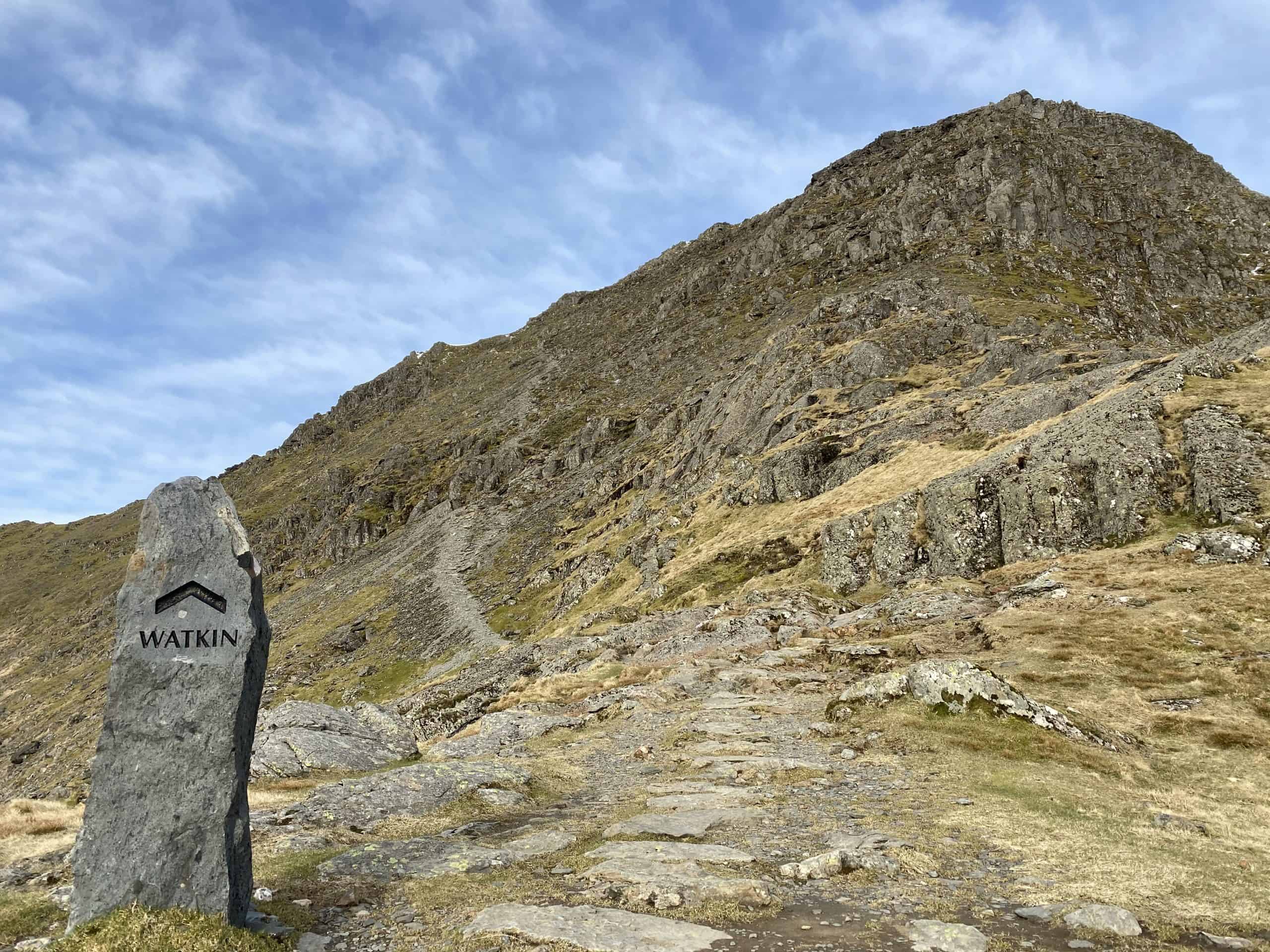
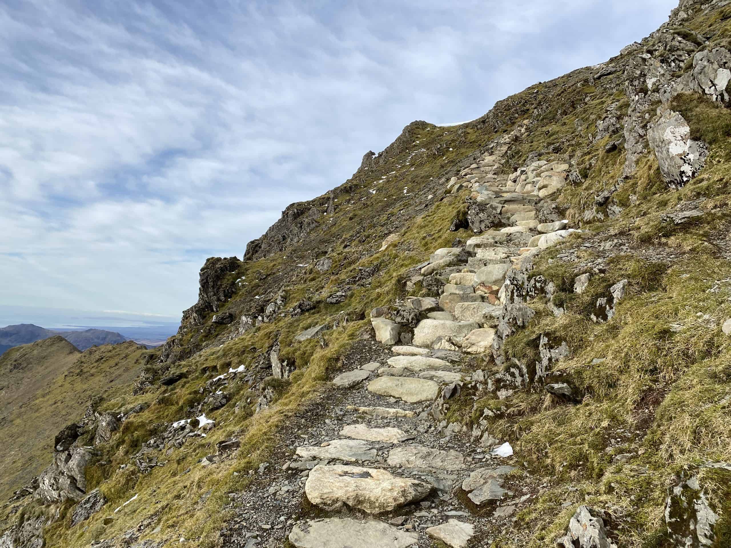
You’ll soon reach a stone sign for ‘Watkin Path’ marking the way ahead. The path starts quite obvious but will soon disappear. Remember to keep heading in the same direction. You’ll might need to ‘scramble’ over a few sections to regain the path. Work is being done nearer the top to make nice steps for the last stretch. This section can be dangerous and extra care is required with your foot work and general attention.
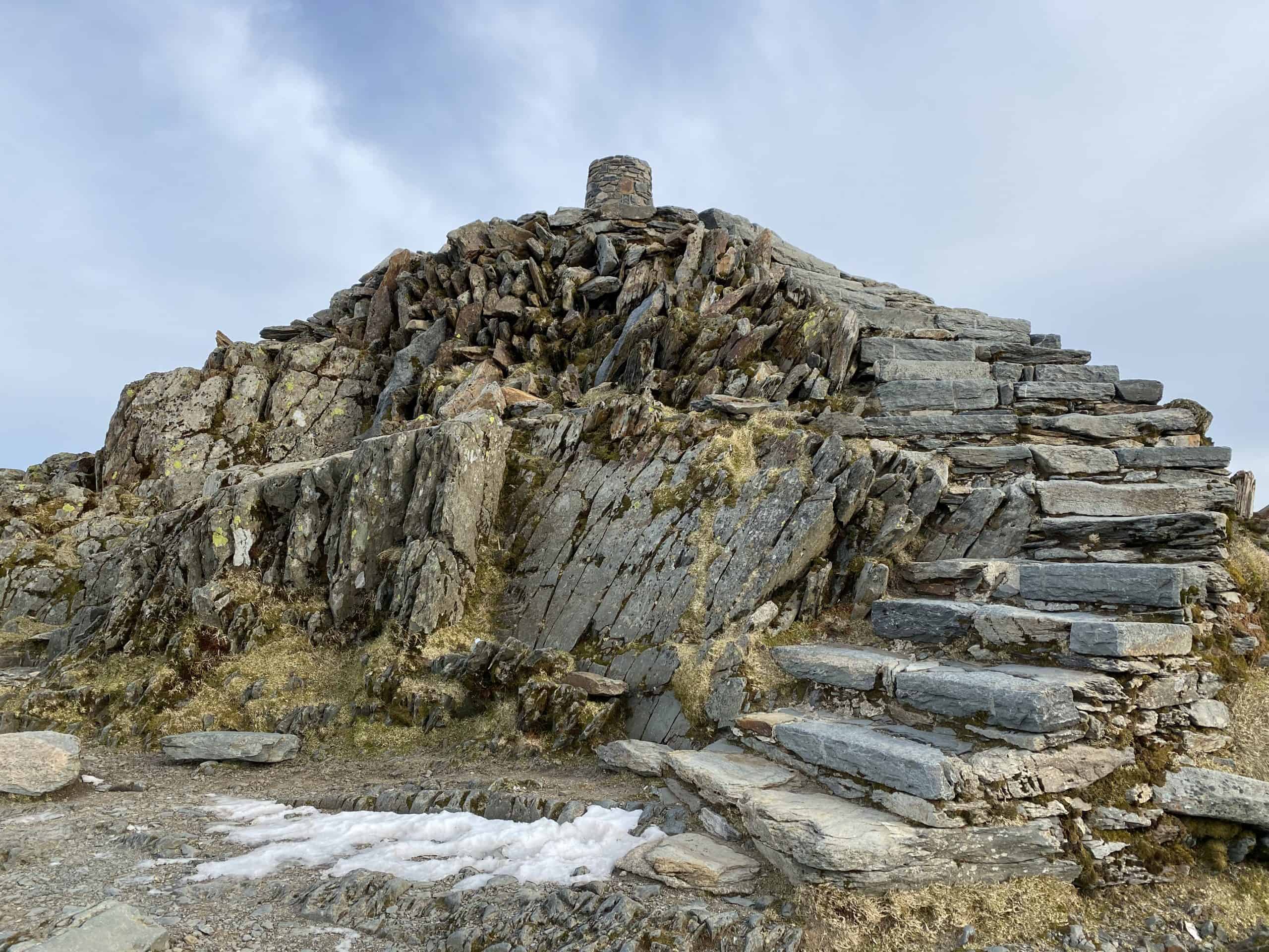
When you reach the top, turn right and continue climbing uphill. You’ll soon see the visitor centre ahead and the steps on its right which will take you up to the summit.
How to get down from Snowdon along the Watkin Path
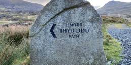
When you’re ready to head down, walk towards the visitor centre and head around the left hand side. Follow the steps downhill until you reach a stone sign pointing the Watkin Path to your left. Follow it carefully back down the scree slope you just came up on. You must pay extra attention as you descend here. Again the route comes and goes but should be clearly visible in the distance.
Once you reach the bottom of the slope the ground levels out and you can follow the ridge back around to the right. At the junction with Y Lliwedd, the path obviously bears right downhill. Don’t miss this otherwise you’ll end up scrambling up a different mountain.
Follow the path now back into the valley. You’ll remember how steep it is coming up so ‘walk well’ and take extra care. Before you know it you’ll be back at the mining works and can enjoy the long, relatively flat walk back past the waterfalls, into and out of the woods and back to the car park.